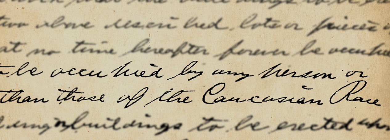

In this paper, we present a newly constructed spatial data set of properties in the city of Philadelphia with deeds that contained a racially restrictive covenant at any time from 1920 to 1932. To date, we have reviewed hundreds of thousands of property deeds and identified nearly 4,000 instances in which a racial covenant had been included in the deed. The covenanted properties formed an invisible barrier to less densely populated areas sought after by white residents and around predominantly white neighborhoods throughout the city. We present the data in a series of geospatial maps and discuss plans for future enhancements to the data set.
A Map of Racially Restrictive Covenants in Philadelphia

Building off of the work in this Discussion Paper by Larry Santucci, our interactive map shows the location of over 4,000 properties that included racially restrictive covenants during the early part of the 20th century. Explore the addresses, identifying language, and dates for these deeds, illustrated over a map of modern-day Philadelphia. This in-depth look also examines the lasting impact of the practice on the people and economy of the city and provides a timeline of events related to the use of racial covenants in the United States.