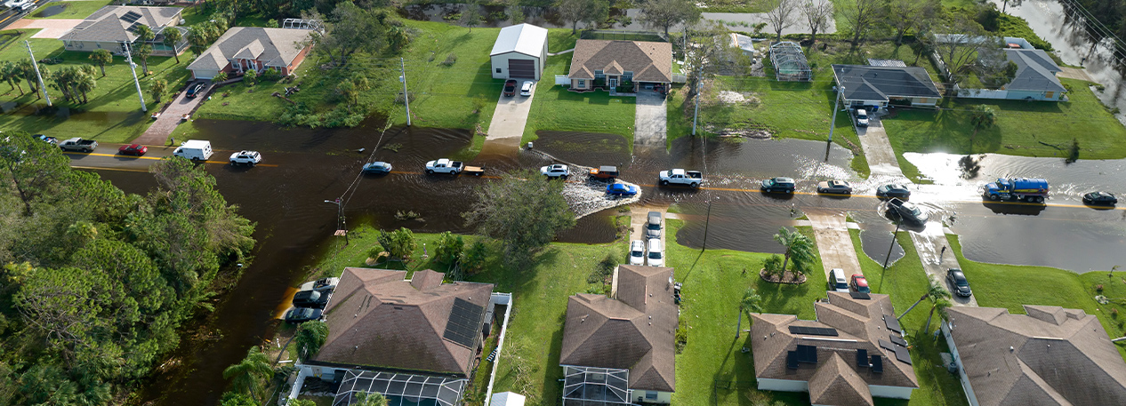
Flooding is the worst natural hazard in the United States, as measured by property damage. This study compares two measures of flood risk in Delaware, New Jersey, and Pennsylvania and seeks to understand the implications for lower-income communities.
The Federal Emergency Management Agency (FEMA) has long maintained and updated flood maps. These maps support the national flood insurance program, which is designed to protect homeowners and renters against flood-related financial losses. The First Street Foundation (FSF) has developed an alternative method to measure flood risk that relies on hazard models.
Comparing the well-established FEMA method with FSF’s alternative measure the report finds:
- When it comes to coastal communities, which have higher flood exposures on average, the FEMA and FSF measures are closely aligned.
- When it comes to noncoastal areas, especially in low- and moderate-income neighborhoods or in neighborhoods facing higher risk of flooding from rainfall, the two measures diverge.
- It is likely that hazards from rainfall, sea level rise, and ungauged streams are responsible for most of the additional exposure that the FSF model identifies.
The study identifies the communities where the two flood hazard measures agree and seeks to understand the implications for property owners and residents in less advantaged communities when the two measures disagree.
The study is part of the Federal Reserve Bank of Philadelphia’s work to promote economic growth and financial stability in low- and moderate-income communities. The findings can help policymakers and practitioners understand the vulnerability of different communities to floods and develop better targeted community disaster resilience and mitigation strategies.
View the Full Report